
Offline maps are the safety net every traveller needs. Whether you’re driving across the States, wandering Paris backstreets, or hiking in the Dolomites, having maps that work with no signal can save battery, data, and stress. In 2025, three apps stand out: Google Maps, Apple Maps, and Maps.me. Each handles downloads, storage, and navigation modes differently—and those differences matter when you’re abroad, on a budget, or off-grid.
This guide compares them side by side: how big the downloads are, how well driving vs walking works offline, what’s searchable without data, and how easy it is to keep maps up to date. You’ll also find quick setup steps, traveller checklists, and pro tips to avoid common gotchas. Want occasional data for place details or live traffic? Pair your offline maps with a local eSIM—options for the US, Europe and more are linked throughout so you can plan, download, and go with confidence.
Quick take: Which offline map should you use in 2025?
- City breaks and mixed transport: Apple Maps (iOS 17+) for excellent offline walking/driving navigation and clean place info. Pair with a regional eSIM like Esim Western Europe for live transit and restaurant updates.
- Long road trips: Google Maps for reliable offline driving and big POI database; set storage to SD on Android. Add traffic with Esim North America or Esim United States.
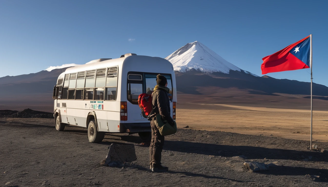
- Hiking/off-grid: Maps.me for fully offline hiking trails and GPX/KML support. Great where coverage is patchy (e.g., national parks in Italy/Spain—see Esim Italy and Esim Spain for towns and transfer days).
- Low storage phones: Google Maps or Apple Maps (choose smaller areas). Maps.me is efficient for single regions but large if you grab whole countries.
- Android users with SD cards: Google Maps or Maps.me—both can store to SD, saving internal space.
Explore where you’re heading with our country and city guides: Destinations.
Side-by-side comparison (2025)
Coverage and region downloads
- Google Maps
- Download by drawing a rectangle. Large trips often need multiple tiles.
- Good for cities/regions; entire countries require several downloads.
- Auto-updates available on Wi‑Fi.
- Apple Maps (iOS 17+)
- Download by area (rectangle). Simple to manage; can be large for whole-country coverage.
- Auto-updates on Wi‑Fi; “Use Offline Maps Only” option helps preserve data.
- Maps.me
- Download by country/region (OpenStreetMap-based). Straightforward for full-country travel.
- Sub-regions available for big countries (e.g., states/provinces).
Navigation modes offline
- Google Maps
- Turn-by-turn offline: driving only.
- Walking/cycling: maps display offline, but routing typically requires data.
- No offline public transport routing.
- Apple Maps
- Turn-by-turn offline: driving, walking, and cycling supported.
- Transit timetables/updates require data.
- Maps.me
- Turn-by-turn offline: driving, walking, and cycling, plus many hiking trails.
- No built-in transit schedules.
Search and place details offline
- Google Maps
- Offline search works for saved area: place names, categories (e.g., “cafe”), and saved lists.
- Limited reviews/photos offline; star ratings may be cached.
- Apple Maps
- Offline search for places within the downloaded area; place cards show key info cached at download.
- Rich details (live photos, opening hours updates) need data.
- Maps.me
- Offline search across OSM POIs; very good for landmarks and trails, variable for small businesses.
- Fewer phone numbers/website links; info depends on community data.
Storage size and space management
Typical ranges (heavily variable by density and coverage you select): - Google Maps - Major city: ~300–700 MB - Large region: 0.8–2.5 GB - Whole-country coverage: multiple tiles totalling several GB - Android: can store offline areas on SD card. - Apple Maps - Major city: ~250–700 MB - Large region: 1–3 GB - Whole-country: 4–9 GB+ depending on detail - iPhone only; no SD card—manage space carefully. - Maps.me - City/region: ~50–300 MB - Medium country: ~300 MB–1.5 GB - Large country: 2–5 GB+ (downloaded as regional chunks) - Android: supports SD card storage.
Tip: Sizes expand with road density, 3D buildings, and POI richness. Always check your free space before trips.
Battery and data use
- All three work in aeroplane mode with GPS on. Expect 3–7% battery per hour of screen-on navigation; less if you lock the screen and use voice prompts.
- Live traffic, satellite imagery, and photos drive data usage—offline maps avoid this unless you go online.
- Apple and Google reduce data by preferring offline areas for routing when available.
Privacy notes
- Offline navigation reduces data transfer but location services still operate. Review each app’s privacy settings before travel.
How to download and set up offline maps
Google Maps (iOS/Android)
- Open Google Maps > tap your profile picture > Offline maps.
- Tap Select your own map > pinch/drag to cover your area > Download.
- Repeat for long routes (ensure overlaps). Aim to cover airports and fallback routes.
- Settings > Offline maps > turn on Auto-update and set Download preferences to Wi‑Fi only.
- Android only: Settings > Offline maps > Storage preferences > SD card (if available).
- Save key places to a List (e.g., Hotels, Must-eats) so they load offline.
Pro tip: Name each area clearly (e.g., “France North”) to avoid gaps.
Apple Maps (iOS 17+)
- Apple Maps > tap your photo/initials > Offline Maps > Download New Map.
- Search a city/region, adjust the rectangle to cover all planned travel.
- Toggle Auto-Update on. Enable Only Use Offline Maps to avoid roaming charges.
- Download multiple areas for long drives (e.g., Calais–Lyon–Nice).
- Add favourites (home, hotels, car hire) for quick access offline.
Pro tip: If space is tight, download city centres plus intercity corridors rather than whole countries.
Maps.me (iOS/Android)
- Install Maps.me and open once with data/Wi‑Fi.
- Search your destination; Maps.me offers the relevant regional download—confirm.
- For big countries, pick only the regions you need (e.g., “Lombardy” instead of all Italy).
- Settings > Map storage > SD card (Android) if available.
- Import GPX/KML hiking routes via email, cloud drive, or file manager.
Pro tip: Create bookmark groups (e.g., “Trailheads”, “Cafes”) so they stay visible offline.
Traveller checklists
Before you fly
- Download maps on Wi‑Fi and while charging.
- Cover airports, train stations, accommodation, and planned day trips.
- Turn on auto-update; verify last-updated date for each area.
- Save/bookmark essential places with local-language names.
- Test in aeroplane mode: open the app, get a route, start navigation.
- Pack a power bank; voice navigation drains less battery than screen-on use.
On the ground
- Keep GPS on; use aeroplane mode to conserve battery and avoid roaming.
- If routes fail, you may be outside your offline area—zoom out and check coverage tiles.
- Switch to a local eSIM for live traffic and updated hours when needed:
- USA: Esim United States
- North America trips: Esim North America
- Western Europe: Esim Western Europe
- Country options: Esim France, Esim Italy, Esim Spain
Driving and hiking specifics
- Driving: Preload fuel stops and rest areas. Expect no live traffic offline; allow buffer time.
- Hiking: Use Maps.me and import GPX tracks; download entire mountain regions. Carry a paper map/compass as backup in remote terrain.
Accuracy notes by use case
Driving accuracy
- Google Maps: Best-in-class road coverage and address search; offline routing is robust, but no live traffic or dynamic rerouting around closures without data.
- Apple Maps: Strong lane guidance and clear visuals; offline driving is smooth. Traffic-aware routing requires data.
- Maps.me: Gets you from A to B offline; occasional quirks at complex interchanges. No traffic layer.
Walking and cycling
- Apple Maps: Reliable offline walking/cycling directions with readable cues—great in dense cities.
- Maps.me: Good for walking and cycling; strengths include parks, trails, and shortcuts from OSM.
- Google Maps: Walking/cycling routing typically needs data. Use offline map for visual reference if needed.
Hiking and off-grid
- Maps.me shines with trail coverage and GPX import. Still, verify trail status locally.
- Apple/Google can display terrain and paths, but aren’t designed as primary hiking tools offline.
Pro tips to save time, space, and battery
- Use two apps: Google or Apple for driving and addresses; Maps.me for trails or neighbourhood shortcuts.
- SD card on Android: Move Google/Maps.me downloads to SD to free internal storage.
- Minimalist downloads: City + intercity corridors instead of entire countries to keep sizes down.
- Save essentials: Hotel, embassy, car park, metro entrances, ATMs—by name and by dropping pins.
- Naming matters: Store shots of hotel exteriors and local-language names in your notes for easier offline search.
- Keep a light data fallback: A low-cost regional eSIM (e.g., Esim Western Europe) unlocks live traffic, restaurant hours, and last-minute changes.
- Teams on the road: Standardise one app + shared lists; see For Business.
- Creators and agencies: Share travel tech checklists with your audience via our Partner Hub.
FAQs
1) Do Google Maps work offline for walking? - You can view the map and saved places offline, but turn-by-turn offline navigation is primarily for driving. For reliable offline walking routes, use Apple Maps (iOS 17+) or Maps.me.
2) Will offline maps expire? - Yes. Google and Apple periodically expire or update downloads to ensure freshness. Keep Auto-update on and refresh before long trips.
3) How much storage should I budget? - For a multi-city week: 1–3 GB is typical. Whole countries can run 4–9 GB+. Maps.me regions are smaller but add up if you grab many. Always check free space first.
4) Can I rely on offline maps without GPS? - No. GPS is required for blue‑dot positioning and navigation. You can still browse maps without GPS, but routing and location accuracy suffer.
5) Is Maps.me accurate in cities? - Generally yes for landmarks and streets, but small-business POIs may lag. Pair with Google or Apple when you have data for the latest openings.
6) Should I use one app or two? - Use the best tool per task: Google or Apple for addresses and driving; Maps.me for trails and deep offline use. Download both if space allows.
The bottom line
- Pick based on your trip: Apple Maps for city walking and clear offline guidance; Google Maps for road trips and strong POI search; Maps.me for hiking and fully offline scenarios.
- Download early, test in aeroplane mode, and keep auto-updates on.
- Consider a light data layer for live essentials—traffic, opening hours, and last-minute changes.
Next step: Travelling across multiple countries? Add flexible coverage with Esim Western Europe so your offline maps are backed by instant data when you need it.